

| Land Information System | Geo-spatial Data Service and Metadata Service | ||
 |
 |
||
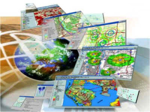 |
LIS developed by the Survey Department is a geographic information system that created using the Digital data of the land surveys. It is designed specifically to contain the spatial information related to the defined area so called land parcel. The input for this LIS is land parcel boundaries. The said land parcel and its information could be obtained from the different data layers shown in this LIS. LIS shows number of data layers having different data accuracies. The land parcel information extracted from the Cadatral survey data |
 |
SDSL, Being the organization responsible in geo-spatial data dissemination for national needs, we now move steps forward to reach our user community in on-Line services. Through this dynamic webportal “Geo Sri Lanka” geo-spatial community is previledged to navigate the interested metadata of the specific area and then on his desire he will be authenticated the respective data services at SDSL orthorized channel. Further, SDSL-SDI will be an good beggining and initiative for the Draft Strategic Framework on Geospatial Information and Services for Disasters 2016-2030 of Working Group on Geospatial Information and |
Read More >>(CM Data) and the digital survey data of statutory surveys other than the cadastral Surveys are the most accurate data in the LIS. The digitized old survey plans and related attributes are also stored in the LIS, however, its spatial accuracy is low. Digital data of those surveys undergo several data processing steps in order to convert to the LIS data model which could be viewed through the web. General public can view the information related surveyed land parcel while reaching to its location. The searching facilities are provided based on District or Divisional Secretariat’s Division or Grama Niladari Division and based on any location. Details of the land parcels can be viewed such as ; the parcel number and the computed extent based on the surveyed land parcel boundaries at the time of survey, name of Land, Land use and the related references. The details of the Land Title certificate issued under the Bim Saviya programme also can be viewed through this web site and it will be very important service for the bankers, real estate mangers as well as the general public, who could make use this to verify the details. |
Read More >>Services for Disasters(WG-GISD), The United Nations Committee of Experts on Global Geospatial Information Management (UN-GGIM). |
||